


1
Angeles Crest Highway
Loading destination. Pulling the current destination verdict. This detail route is still resolving live conditions, scoring evidence, and fallback guidance.

Southern Mountains
01 · The call
Mixed conditionsWhy now
One of the better months for scenic mountain drive + pine hikes here.
Watch out
San Gabriel Canyon OHV Area Prohibitions
Plan B
Keep the trip anchored around Wrightwood with a shorter loop through Mt — if if nearby wildfire or smoke pressure.
Why now
One of the better months for scenic mountain drive + pine hikes here.
Watch out
San Gabriel Canyon OHV Area Prohibitions
Plan B
Keep the trip anchored around Wrightwood with a shorter loop through Mt — if if nearby wildfire or smoke pressure.
02 · The story

san gabriel crest guide
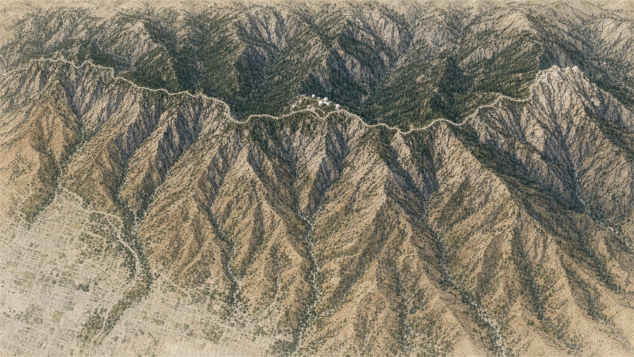
Angeles Crest gives Los Angeles a fast mountain transition: foothills, pine zones, high pullouts, Mt. Wilson context, and Wrightwood-style town resets without booking a full resort weekend.
san gabriel crest guide
Angeles Crest gives Los Angeles a fast mountain transition: foothills, pine zones, high pullouts, Mt. Wilson context, and Wrightwood-style town resets without booking a full resort weekend.
Field notes
Mountain road, drive it sober and slow. The Angeles Crest Highway (SR-2) is a long, winding mountain road with drop-offs, cyclists, and weather that changes fast.
Chains and closures in winter. Chains or cables can be required from mid-fall through early spring, and Caltrans closes stretches of SR-2 for snow and storm damage.
04 · The window
05 · The conditions
Current weather
90F day, 67F night
0% chance of rain
15 mph wind
Heat may shape the day
Nearest towns: Riverside · Los Angeles
Updated Jul 28, 2026, 12:10 PM
06 · On the ground
Access
Before you go
Road and weather data checked Jul 28, 2026, 12:10 PM
Official alerts
Last checked
Jul 28, 2026, 12:10 PM
Next step
03 · Highlights
Angeles Crest Highway

Mt. Wilson Area

Jackson Lake

West Fork Historic Cabin

Wrightwood Reset
Selected stop
Jackson Lake
A softer Wrightwood-side stop when the group wants mountain air without another exposed overlook.
Across the park
La Cañada
91° · 1,500 ft
Switzer
83° · 3,300 ft
Red Box
79° · 4,600 ft
Mount Wilson
76° · 5,710 ft
Chilao
83° · 5,300 ft
Cloudburst Summit
76° · 7,018 ft
Dawson Saddle
72° · 7,901 ft
Mt Baden-Powell
71° · 9,406 ft
Across the park
About 20° colder up high — La Cañada 91°, Mt Baden-Powell 71°.
Across the park · by elevation
Temp · wind
La Cañada
91° · 1,500 ft
Switzer
83° · 3,300 ft
Red Box
79° · 4,600 ft
Mount Wilson
76° · 5,710 ft
Chilao
83° · 5,300 ft
Cloudburst Summit
76° · 7,018 ft
Dawson Saddle
72° · 7,901 ft
Mt Baden-Powell
71° · 9,406 ft
La Cañada 91° · Mt Baden-Powell 71° — colder up high.
Effective July 24, 2026, fire danger levels have increased to “VERY HIGH” at the Angeles National Forest. The forest has taken this step to enhance public awareness that wildfire probability increases as temperatures rise and vegetation dries out. Despite the change, there are no new campfire… Forest Order: #Forest Order No. 05-01-26-12.
Pursuant to 16 U.S.C. § 551 and 36 C.F.R. § 261.50(a), and to provide for public safety, the following acts are prohibited within the Angeles National Forest and San Gabriel Mountains National Monument. This Order is effective from August 15, 2025, through August 1, 2027.Possessing personal… Forest Order: #05-01-25-13.
Be aware of the following restricted activities in the San Gabriel Canyon Off-Highway Vehicle Area:Entering or being in the San Gabriel OHV Area when closed. See associated documents and map below.Entering or being in the San Gabriel Reservoir.Parking or leaving a vehicle in violation of posted… Forest Order: #05-01-26-09.
Hikers and equestrians along the Pacific Crest Trail may be affected by a temporary closure of the Williamson Rock area of the Angeles National Forest. This closure (Forest Order No. 05-01-24-04), in effect through December 31, 2026, is for the protection of natural resources, specifically the… Forest Order: #05-01-24-04.
LAC-261784 is an active wildfire roughly 15 miles from Angeles Crest. Current incident context: Los Angeles County. Official incident label: LAC-261784.
LAC-264381 is an active wildfire roughly 16 miles from Angeles Crest. Current incident context: Los Angeles County. Official incident label: LAC-264381.

Southern Coast
Channel Islands