
1
General Grant Tree
Loading destination. Pulling the current destination verdict. This detail route is still resolving live conditions, scoring evidence, and fallback guidance.

Sierra Nevada
01 · The call
Good with cautionWhy now
One of the better months for grant grove and kings canyon scenic drive here.
Watch out
Fire Restrictions in Place
Plan B
Keep the trip anchored around Three Rivers with a shorter loop through General Grant Tree and Grant Grove.
Why now
One of the better months for grant grove and kings canyon scenic drive here.
Watch out
Fire Restrictions in Place
Plan B
Keep the trip anchored around Three Rivers with a shorter loop through General Grant Tree and Grant Grove.
02 · The story
canyon and grove guide
Kings Canyon is often bundled with Sequoia, but the visitor rhythm is different.
canyon and grove guide
Kings Canyon is often bundled with Sequoia, but the visitor rhythm is different.
Field notes
Winding mountain roads. Roads can be narrow, winding, and steep.
03 · Highlights
General Grant Tree

Grant Grove

Kings Canyon Scenic Byway

Zumwalt Meadow

Road's End
Selected stop
Kings Canyon Scenic Byway
The road is the experience here: a long scenic descent that should be planned as a real time block.
04 · The window
05 · The conditions
Current weather
64F day, 45F night
0% chance of rain
10 mph wind
Nearest towns: Fresno · Bakersfield
Updated Jul 28, 2026, 12:10 PM
06 · On the ground
Access
Before you go
Road and weather data checked Jul 28, 2026, 12:10 PM
Official alerts
Last checked
Jul 28, 2026, 12:10 PM
Stage 1 Fire Restrictions are in effect. Wood and charcoal fires are prohibited at all low-elevation campgrounds and picnic areas. Additional restrictions apply. Click "more" for details.
5-3 is an active wildfire roughly 17 miles from Kings Canyon National Park. Current incident context: Inyo County, 744 acres. null Miles null from null,
Next step
Across the park
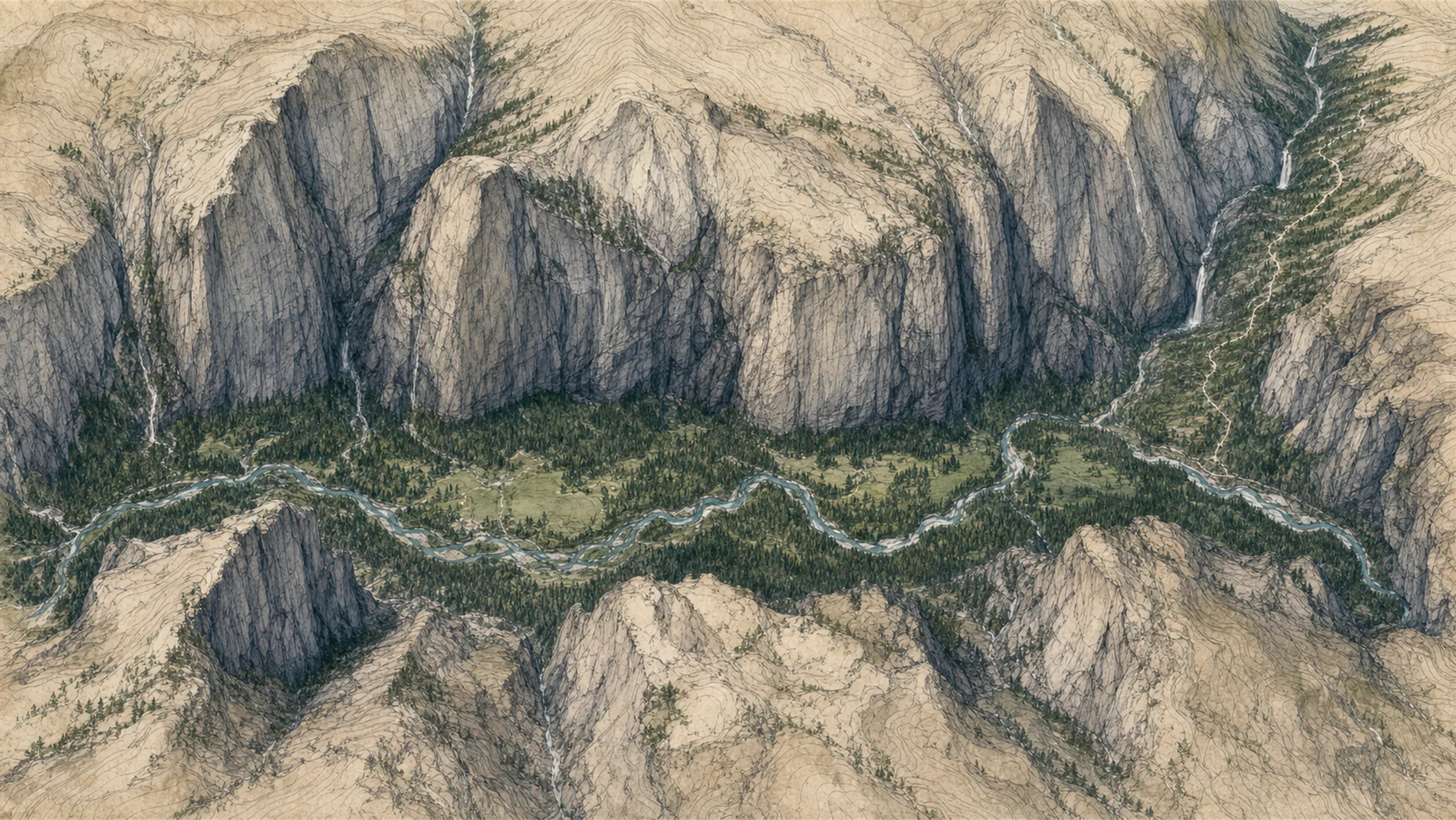
Cedar Grove Village
86° · 4,600 ft
Roaring River Falls
85° · 4,700 ft
Zumwalt Meadow
85° · 4,680 ft
Road's End
87° · 5,035 ft
Mist Falls
77° · 5,650 ft
Paradise Valley
80° · 6,600 ft
North Dome
76° · 8,717 ft
Grand Sentinel
80° · 8,504 ft
Across the park
About 11° colder up high — Road's End 87°, North Dome 76°.
Across the park · by elevation
Temp · wind
Cedar Grove Village
86° · 4,600 ft
Roaring River Falls
85° · 4,700 ft
Zumwalt Meadow
85° · 4,680 ft
Road's End
87° · 5,035 ft
Mist Falls
77° · 5,650 ft
Paradise Valley
80° · 6,600 ft
North Dome
76° · 8,717 ft
Grand Sentinel
80° · 8,504 ft
Cedar Grove Village 86° · North Dome 76° — colder up high.
ROCK is an active wildfire roughly 17 miles from Kings Canyon National Park. Current incident context: Inyo County, 12,008 acres, 62% contained. 10 Miles N from Independence, CA
5-4 is an active wildfire roughly 19 miles from Kings Canyon National Park. Current incident context: Inyo County, 1,318 acres. null Miles null from null,


