


1
South Tufa
Loading destination. Pulling the current destination verdict. This detail route is still resolving live conditions, scoring evidence, and fallback guidance.

Eastern Sierra
01 · The call
Mixed conditionsWhy now
Tufa towers photograph well in low spring light.
Watch out
Nearby wildfire: DOVE (76 miles away)
Plan B
Keep the trip anchored around Lee Vining with a shorter loop through South Tufa and Mono Lake County Park.
Why now
Tufa towers photograph well in low spring light.
Watch out
Nearby wildfire: DOVE (76 miles away)
Plan B
Keep the trip anchored around Lee Vining with a shorter loop through South Tufa and Mono Lake County Park.
02 · The story

tufa shoreline guide
Mono Lake is not a large itinerary by itself, but it is one of the most distinctive stops on Highway 395.
Photo: King of HeartsCC BY-SA 3.0Source
tufa shoreline guide
Mono Lake is not a large itinerary by itself, but it is one of the most distinctive stops on Highway 395.
Photo: King of HeartsCC BY-SA 3.0Source
04 · The window
05 · The conditions
Current weather
88F day, 58F night
0% chance of rain
10 mph wind
Heat may shape the day
Nearest town: Bishop
Updated Jul 28, 2026, 12:10 PM
06 · On the ground
Before you go
Road and weather data checked Jul 28, 2026, 12:10 PM
Official alerts
Last checked
Jul 28, 2026, 12:10 PM
DOVE is an active wildfire roughly 76 miles from Mono Lake. Current incident context: Tuolumne County, 223 acres, 10% contained. 1 Miles S from SONORA, CA
5-4 is an active wildfire roughly 79 miles from Mono Lake. Current incident context: Inyo County, 1,318 acres. null Miles null from null,
Next step
Field notes
Dusty wind changes the visit. When wind kicks up dust off the exposed lakebed, air quality around South Tufa and Highway 120 East can feel rough quickly.
03 · Highlights
South Tufa
Tufa Shoreline

Mono Lake County Park

Lee Vining Base

Eastern Sierra Light
Selected stop
Mono Lake County Park
The easier birding and boardwalk stop, useful when South Tufa wind or timing is not ideal.
Photo: King of HeartsCC BY-SA 3.0Source
Across the park
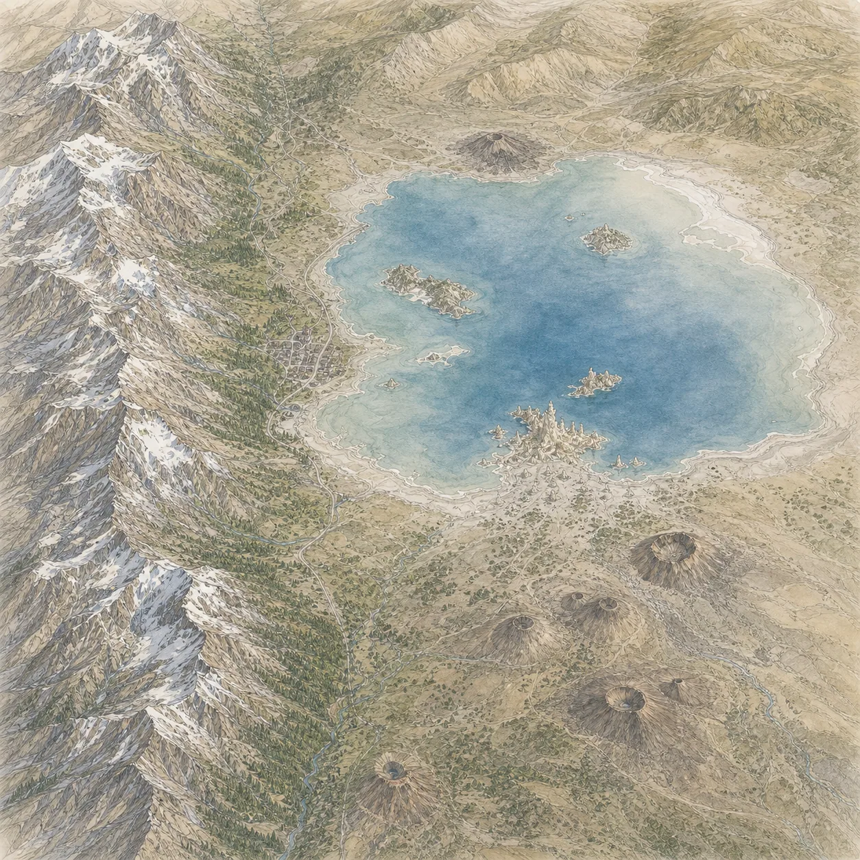
Mt Dana
58° · 13,061 ft
Tioga Pass
70° · 9,943 ft
Panum Crater
89° · 7,000 ft
Lee Vining
88° · 6,781 ft
Black Point
88° · 6,500 ft
South Tufa
90° · 6,380 ft
Across the park
About 32° colder up high — South Tufa 90°, Mt Dana 58°.
Across the park · by elevation
Temp · wind
Mt Dana
58° · 13,061 ft
Tioga Pass
70° · 9,943 ft
Panum Crater
89° · 7,000 ft
Lee Vining
88° · 6,781 ft
Black Point
88° · 6,500 ft
South Tufa
90° · 6,380 ft
South Tufa 90° · Mt Dana 58° — colder up high.
GROUSE is an active wildfire roughly 44 miles from Mono Lake. Current incident context: Tuolumne County, 5 acres.

Central Sierra
Huntington Lake