
1
Bunny Flat
Loading destination. Pulling the current destination verdict. This detail route is still resolving live conditions, scoring evidence, and fallback guidance.

North State
01 · The call
Mixed conditionsWhy now
One of the better months for waterfalls + volcano viewpoints here.
Watch out
Mud and Ash Creek Area and Road Closure
Plan B
Keep the trip anchored around Mount Shasta with a shorter loop through Everitt Memorial Highway viewpoints and McCloud Falls.
Why now
One of the better months for waterfalls + volcano viewpoints here.
Watch out
Mud and Ash Creek Area and Road Closure
Plan B
Keep the trip anchored around Mount Shasta with a shorter loop through Everitt Memorial Highway viewpoints and McCloud Falls.
02 · The story

volcano town guide
A strong Mount Shasta trip separates the volcano from the town.
volcano town guide
A strong Mount Shasta trip separates the volcano from the town.
Field notes
Weather can whiteout in hours. The mountain pulls in weather and amplifies it; clear skies can drop to zero visibility in a few hours.
Rockfall and crevasses by late summer. After midsummer the south slopes shed rock and glacier crevasses open up.
03 · Highlights
Bunny Flat

Everitt Memorial Highway
Lake Siskiyou

McCloud Falls

Mount Shasta town
Selected stop
Lake Siskiyou
The easy comfort stop: lake air, photos, picnic pacing, and a softer afternoon after the high-road chapter.
04 · The window
05 · The conditions
Current weather
87F day, 54F night
1% chance of rain
14 mph wind
Heat may shape the day
Nearest towns: Truckee · Mount Shasta City
Updated Jul 28, 2026, 12:10 PM
06 · On the ground
Access
Before you go
Road and weather data checked Jul 28, 2026, 12:10 PM
Next step
Across the park
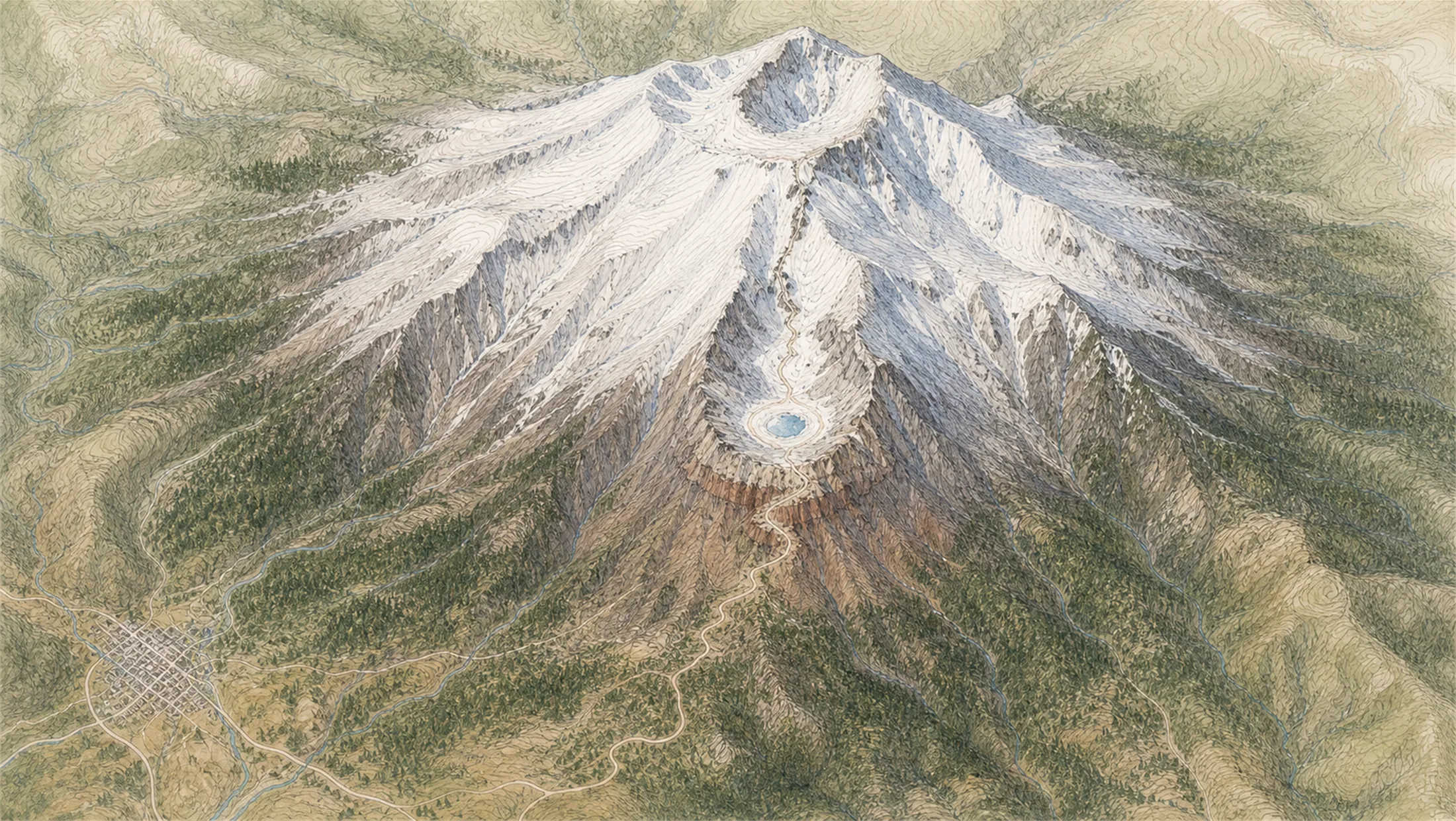
Mount Shasta (town)
89° · 3,600 ft
Bunny Flat
71° · 6,860 ft
Panther Meadows
66° · 7,500 ft
Horse Camp
67° · 7,900 ft
Lake Helen
58° · 10,440 ft
Red Banks
42° · 12,900 ft
Misery Hill
39° · 13,800 ft
Mt Shasta Summit
40° · 14,179 ft
Across the park
About 50° colder up high — Mount Shasta (town) 89°, Misery Hill 39°.
Across the park · by elevation
Temp · wind
Mount Shasta (town)
89° · 3,600 ft
Bunny Flat
71° · 6,860 ft
Panther Meadows
66° · 7,500 ft
Horse Camp
67° · 7,900 ft
Lake Helen
58° · 10,440 ft
Red Banks
42° · 12,900 ft
Misery Hill
39° · 13,800 ft
Mt Shasta Summit
40° · 14,179 ft
Mount Shasta (town) 89° · Mt Shasta Summit 40° — colder up high.
Official alerts
Last checked
Jul 28, 2026, 12:10 PM
Guardrail Work is affecting southbound travel on I-5 from Mount Shasta to Mount Shasta. Long Term closure pattern. Estimated delay is about 16 minutes.
Portions of Mud and Ash Creek: FS Roads 40N56, 41N29, 41N17, 41N17A, and 41N31 are closed to the Mount Shasta Wilderness are closed due to public safety on the Mount Shasta Ranger District. Forest Order: #14-25-07.
Current conditions update from Shasta-Trinity National Forest.
The purpose of these fire restrictions is to reduce the risk of human-caused fires on National Forest System lands and the associated injuries, damages, and costs. The decision to implement fire restrictions is largely due to rapidly increasing fire danger indices, including burning index, and… Forest Order: #14-26-07.
Portions of the Mount Shasta Wilderness are restricted from camping and having a campfire (including fire stove) due to public safety and concern over local resources on federal land on the Mount Shasta Ranger District, and nearby private land. Forest Order: #14-25-08.
Prior to entering the Mt. Shasta Wilderness Area review the permit requirements and restrictions for pack stock, waste management, firearms use, campfires, and camping limits. The Mt. Shasta Wilderness Area is in both the Mount Shasta and McCloud Ranger Districts. Forest Order: #14-24-08.
Current conditions update from Shasta-Trinity National Forest.
Current conditions update from Shasta-Trinity National Forest.
3-1 PIT is an active wildfire roughly 60 miles from Mount Shasta. Current incident context: Lassen County, 1,055 acres, 95% contained. 4 Miles SE from LITTLE VALLEY, CA
LOOMIS is an active wildfire roughly 65 miles from Mount Shasta. Current incident context: Lassen County, 656 acres, 95% contained. 5 Miles NE from LITTLE VALLEY, CA
3-6 WAGON is an active wildfire roughly 71 miles from Mount Shasta. Current incident context: Lassen County, 205 acres, 100% contained. 7 Miles NE from LITTLE VALLEY, CA

North State
Lassen Volcanic
