


1
Emerald Bay
Loading destination. Pulling the current destination verdict. This detail route is still resolving live conditions, scoring evidence, and fallback guidance.

Sierra / Alpine Basin
01 · The call
Good with cautionWhy now
One of the better months for snow shoulder + scenic lake stops here.
Watch out
SR-89 One-Way Traffic near Tahoe City
Plan B
Keep the trip anchored around South Lake Tahoe with a shorter loop through South Lake scenic shoreline and Emerald Bay.
Why now
One of the better months for snow shoulder + scenic lake stops here.
Watch out
SR-89 One-Way Traffic near Tahoe City
Plan B
Keep the trip anchored around South Lake Tahoe with a shorter loop through South Lake scenic shoreline and Emerald Bay.
02 · The story

lake basin guide
Tahoe is easy to overgeneralize because it can mean ski weekend, summer lake trip, casino-town base, family cabin, or a scenic drive.
04 · The window
05 · The conditions
Current weather
76F day, 54F night
0% chance of rain
10 mph wind
Nearest towns: Truckee · Sacramento
Updated Jul 28, 2026, 12:10 PM
06 · On the ground
Before you go
Road and weather data checked Jul 28, 2026, 12:10 PM
Official alerts
Last checked
Jul 28, 2026, 12:10 PM
ELEPHANT is an active wildfire roughly 43 miles from Tahoe Basin. Current incident context: Plumas County, 13,930 acres, 100% contained. 2 Miles NE from LOYALTON, CA
BISCAR is an active wildfire roughly 106 miles from Tahoe Basin. Current incident context: Lassen County, 69,352 acres, 97% contained. 40 Miles NE from SUSANVILLE, CA
Next step
Field notes
Bears walk through town. Bears roam right through Tahoe neighborhoods, campgrounds, and parking lots, and they know how to pop a car door for a snack.
Bring a jacket, even in summer. Summer days are warm but lake nights at altitude get genuinely cold.
Bear canister required in the wilderness. If you backpack into Desolation Wilderness, a hard-sided bear canister is required for all food and scented items, not optional.
03 · Highlights
Emerald Bay

Vikingsholm
D. L. Bliss Shoreline
Rubicon Trail Views

South Lake Base
Across the park
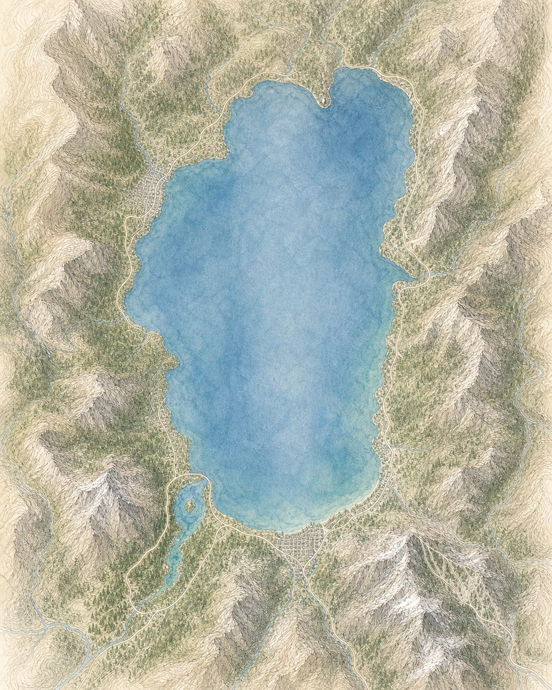
South Lake Tahoe
80° · 6,230 ft
Emerald Bay
80° · 6,230 ft
Tahoe City
80° · 6,250 ft
Mt Tallac
65° · 9,735 ft
Heavenly Summit
70° · 10,067 ft
Freel Peak
62° · 10,886 ft
Across the park
About 18° colder up high — South Lake Tahoe 80°, Freel Peak 62°.
Across the park · by elevation
Temp · wind
South Lake Tahoe
80° · 6,230 ft
Emerald Bay
80° · 6,230 ft
Tahoe City
80° · 6,250 ft
Mt Tallac
65° · 9,735 ft
Heavenly Summit
70° · 10,067 ft
Freel Peak
62° · 10,886 ft
South Lake Tahoe 80° · Freel Peak 62° — colder up high.
GROUSE is an active wildfire roughly 60 miles from Tahoe Basin. Current incident context: Tuolumne County, 5 acres.

Eastern Sierra
Mammoth Lakes